
St. Louis ZIP Codes by Place
Missouri's official county and city ZIP dataset is the starting crosswalk for St. Louis County. A ZIP can appear on several rows because several city or place labels are associated with it. Those labels describe mailing geography, not a promise that each place is inside one municipality. USPS serving-office names are not supplied by the county crosswalk, so the table identifies where a By Address lookup is needed for an individual street and unit.
| ZIP | Areas Covered | Post Office | Notes |
|---|---|---|---|
| 63005 | Chesterfield, Clarkson Valley, Gumbo, Wildwood | Confirm by USPS address search | Several place labels. |
| 63011 | Ballwin, Ellisville, Manchester, Town and Country, Winchester, Wildwood | Confirm by USPS address search | Multiple municipality labels. |
| 63021 | Ballwin, Ellisville, Manchester, Sherman, Twin Oaks, Winchester, Wildwood | Confirm by USPS address search | Boundary and municipality check needed. |
| 63099 | Fenton | Confirm by USPS address search | Special or organizational label in the state dataset. |
| 63105 | Clayton, Saint Louis, University City | Confirm by USPS address search | County and city naming overlap. |
| 63121 | Bel Nor, Bel Ridge, Bellerive, Normandy, Northwoods, Saint Louis, and others | Confirm by USPS address search | Dense municipal overlap. |
| 63122 | Des Peres, Glendale, Kirkwood, Oakland, Saint Louis, Warson Woods | Confirm by USPS address search | Multiple labels. |
| 63131 | Crystal Lake Park, Des Peres, Frontenac, Huntleigh, Saint Louis, Town and Country | Confirm by USPS address search | Several municipality labels. |
| 63145 | Ferguson, Lambert Airport, Saint Louis | Confirm by USPS address search | Special or airport label; verify the exact address. |
| 63198 | Saint Louis | Confirm by USPS address search | Special or organizational label in the state dataset. |
The full state table should be filtered to county Saint Louis, then each address should be checked with USPS and county GIS. It intentionally differs from a delivery-polygon map. Census ZCTAs are statistical approximations and should not replace the postal result.
Use the St. Louis ZIP Crosswalk
The county dataset is most valuable when it exposes ambiguity early. ZIP 63121, 63122, and 63131 each carry several associated labels, while 63099, 63151, 63167, and 63198 are marked as special or organizational labels in the state data. A careful directory entry preserves the crosswalk label as received, then adds the postal response and the parcel municipality as separate fields. That is the useful role of a St. Louis ZIP code directory.
That three-part note matters in family history and address research. An older printed directory may use the post-office city, a modern parcel may identify another municipality, and a county record can still be the appropriate custodian route. A ZIP narrows a mailing search. It does not establish the city limit, legal jurisdiction, or a person's presence at the address.
Note: Record the ZIP, USPS mailing response, municipality, source date, and any historical place label together to avoid silently replacing one geography with another.
Confirm St. Louis ZIP Codes by Address
For a complete street address, USPS By Address is the appropriate check for the mailing ZIP and post-office label. By City and State is useful for finding possible ZIPs when only a place is known. Cities by ZIP returns associated city names, which should then be compared with the Missouri county crosswalk. None of those results confirms that a person or organization is located there.
| USPS field | Input type | Documented use |
|---|---|---|
| Street Address | Text, required | Required for the By Address route. |
| City | Text, required | Use with state for the mailing-address lookup. |
| State | Select or text, required | Choose Missouri for a St. Louis County address. |
| Company | Text, optional | Optional additional address detail. |
| Apt/Suite/Other | Text, optional | Optional unit detail. |
| ZIP | Text, optional | Optional check against an already-known ZIP. |
| Find | Button | Submits the address lookup. |
USPS address lookup shows the required fields used to verify a mailing ZIP.
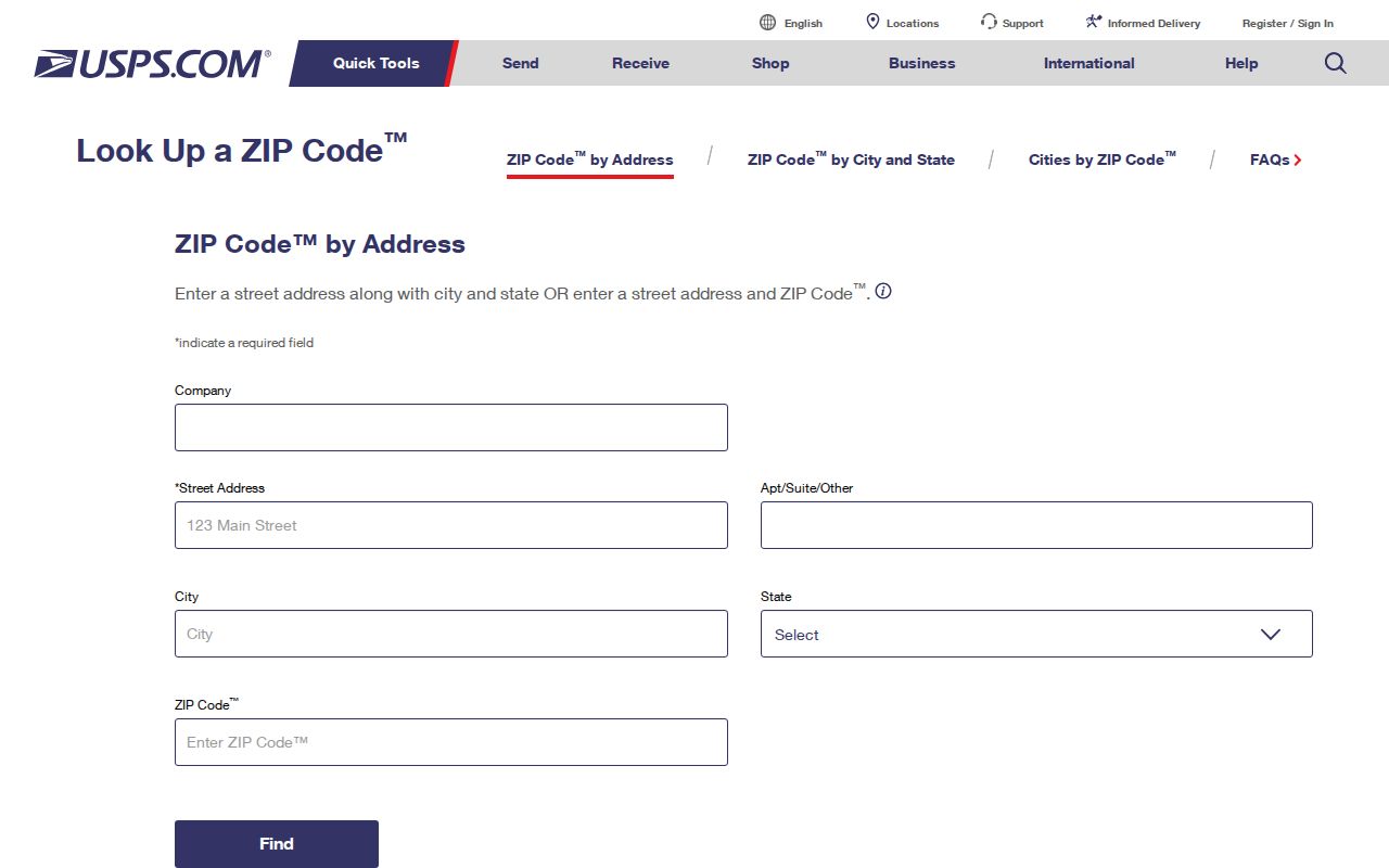
Enter the street and any unit accurately, then save the postal response with the date of the check. The answer resolves delivery geography, not municipal jurisdiction.
Read St. Louis Municipality Fields
County GIS is the next layer after USPS. Search the property address or move the map to the parcel, then read PROP_ZIP alongside MUNICIPALITY. The parcel layer also distinguishes the property ZIP from OWN_ZIP, which belongs to the owner-mailing record. A mailing city, property ZIP, owner mailing ZIP, and municipality can all differ without creating a contradiction.
The Revenue Real Estate Search can narrow the property-address route before the result's property ZIP is read. Research did not locate a separate ZIP-only assessor field, so it should not be described as a ZIP-wide people search. For a street-level parcel sequence after the geography is settled, use the St. Louis Street Directory record trail.
The County Real Estate Search is the property-address handoff used after a mailing ZIP has been checked.
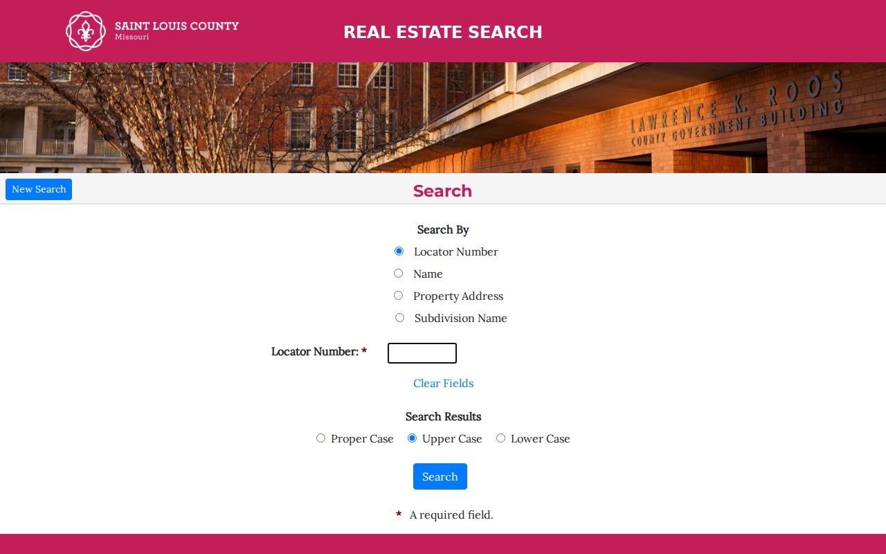
The form supports locator, name, property-address, and subdivision searches. Read the property ZIP in the result together with the GIS municipality field.
Search St. Louis ZIP Geography
A reliable ZIP workflow moves from the postal result to the parcel and then to the particular record type. It keeps the question geographic. The steps do not create a current people list, and the voter route has its own legal restrictions.
- Find the ZIP in Missouri's county and city dataset, retaining every associated place label that applies to Saint Louis County.
- Use USPS By Address to confirm the mailing ZIP and city for the specific street and unit.
- Search County GIS by property address or map extent, then record
PROP_ZIPandMUNICIPALITYseparately. - Use the Revenue property search for parcel, assessment, and owner-of-record details when that record type is needed.
- For an older place question, compare a dated directory or plat with the historic label before treating it as a modern municipal name.
Once the result is narrowed to a particular street, the address workflow is more useful than expanding the ZIP into unsupported conclusions. A ZIP directory remains a geography tool through every step.
Handle St. Louis ZIP Voter Data
The county Board of Elections EIS list-request form can include city, state, ZIP, house number, street parts, precinct or split, registration date, last vote date, and election date in its requested output. That is not a universal ZIP count. It is a paid, purpose-limited request route with countywide, district, and municipal options. The form also permits choices such as active-only treatment unless otherwise designated.
The current form was revised January 15, 2025. It says a countywide file is $40 and a district or municipal file is $20, with stated reduced prices for additional files ordered at the same time. It cites RSMo §115.158.6 for master-list use. Confirm current prices and permitted purpose directly on the Board of Elections request form before ordering.
Track St. Louis ZIP Boundaries
ZIP geography should be read with municipal history, especially in a county of many incorporated places. Boundary Commission materials show annexation, consolidation, and map-plan context that a postal label cannot provide. Recent materials include Ballwin proposals associated with 63021 and a Normandy consolidation item associated with 63121. The relationship is contextual, not a declaration that a ZIP is a municipal boundary.
Boundary Commission proposals provide local boundary context that cannot be derived from a post-office label.
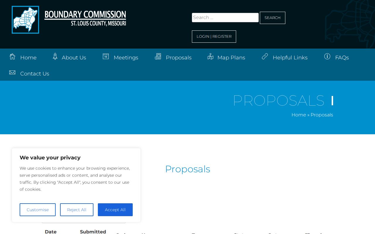
Use a proposal's date and location with the parcel municipality field. A historical directory may use a mailing city that predates a later municipal change.
Boundary check. Keep the ZIP and municipality as two separate fields. A St. Louis postal label does not identify the incorporated place or the correct records custodian by itself.
Do Not Substitute St. Louis ZCTAs
Census ZCTAs are statistical geography rather than USPS delivery boundaries. They can be useful for broad data analysis, but they should not override the address result from USPS. The same caution applies to a map screenshot: it may support research, but it does not decide a particular address's mailing or municipal status.
For address history, record an old street number and its original place label before translating it into present parcel geography. A street may have been renumbered or reclassified, and the City of St. Louis separated from the county in 1876. The right custodian can change with both the date and the underlying municipality.
Note: A ZIP result is a mailing reference. Save the source and date, then verify municipal or legal-boundary questions through GIS and the responsible agency.
Limits of St. Louis ZIP Codes
ZIP codes are useful labels, but they cannot answer every address question. They do not establish a city limit, a parcel boundary, a government jurisdiction, or who may be at an address. Safe at Home substitute addresses, protected voter information, sealed material, and non-public household details are not a shortcut around those limits.
- ZIP code
- A postal delivery code used to sort mail, not a municipal boundary or resident list.
- ZIP+4
- An added delivery segment that makes a ZIP more specific for mail processing.
- PO-box ZIP
- A ZIP used for post-office boxes and not necessarily for every nearby street delivery.
- Unique ZIP
- A ZIP associated with a particular organization or special label in a dataset.
- Carrier route
- A mail-delivery grouping that does not replace the official ZIP or municipality field.
For a correction, contact the custodian that owns the field: county Revenue or GIS for parcel data, Elections for registration questions, USPS for mailing-address validation, and the Secretary of State Safe at Home program for qualifying address protection. That keeps a St. Louis ZIP code directory focused on the records each agency actually maintains.