
St. Louis Previous Residents by Era
One address leaves several kinds of records behind. Their dates and meanings differ, so begin with the source that matches the question. The county’s current property tools are the starting handoff, the Recorder supplies recorded instruments, and library and archival materials supply historical address and place context. The Recorder’s inspected web route did not disclose an online start year, so an empty result cannot be labeled a coverage gap.
| Source | Years It Covers | Where Held | What It Shows |
|---|---|---|---|
| Recorder of Deeds instrument route | Online index years not stated in official sources | St. Louis County Recorder portal and office | Recorded-instrument fields such as grantor, grantee, type, date, and legal description when available |
| St. Louis County directories | 1893–1979 | St. Louis County Library | Dated printed name and address listings, with reverse-address searching where a volume has it |
| St. Louis city-directory layer | 1821–1860; 1860–1980 | Library holdings described by PastPorts | City listings that require careful city/county jurisdiction checks |
| Land surveys | 1806–1851 | Missouri State Archives inventory | Older land description and location context, not a modern Recorder-index promise |
| Probate index | 1876–2000 | Missouri State Archives microfilm inventory | Estate and fiduciary leads that may explain a transfer |
Use the current parcel record to preserve the locator, street address, municipality, deed book/page if shown, and legal description. Then branch to the Recorder for conveyance records and to a dated directory for presence at the address. This is a record-role sequence, not a shortcut to identifying every person connected with a property.
Start St. Louis Previous Residents at Parcel
Revenue’s Real Estate Search and the GIS Property Lookup are complementary current tools. Revenue supports locator, name, property address, and subdivision searches. GIS adds parcel geometry, property or situs address, owner mailing fields, legal description, jurisdiction information, and a deed book/page handoff. The county library’s PastPorts guide says the property website shows current ownership, assessment, and building information, but not previous owners.
Save the current locator exactly as shown. The GIS schema distinguishes property-address fields from owner-mailing fields, a difference that matters when an owner’s correspondence goes elsewhere. Read the municipality separately from the mailing label, too. A current parcel result is a lead for the historical trail, not proof of who was present at that address in an earlier year.
Recorder Limits for St. Louis Previous Residents
The direct Recorder search route was identified, but the unattended inspection returned an error rather than a stable field layout. No official source located the first online year, the complete image range, or a live sample result. Do not add a date range to the online deed index. The State Archives’ older county-record ranges describe archival reels and inventories, not the scope of the current web index.
If the portal does not return the needed instrument, use the county deed-copy route or ask the Recorder about public-terminal and office-search access. The deed-copy instructions described in the research list $2 for the first page, $1 for each additional page, and $1 for certification, with separate postage tiers. Confirm current directions before mailing. A narrow Missouri Sunshine Law request can identify the record category, address, approximate date, and requested format after the custodian confirms that the material is open.
The county’s Recorder of Deeds search route is the first online handoff for a documented instrument lead.
The route should lead to a recorded instrument or a custodian request, not an unsupported conclusion about who lived at the address.
Trace St. Louis Previous-Resident Deed Records
Recorded deeds are a chain of instruments. Begin with the current locator and recorded-book/page clue, search the current grantee or owner string, and use the preceding parties as each document reveals the next step. Capture the recording date, instrument type, grantor, grantee, book/page or document number, legal description, parcel or lot reference, and image or copy status. Keep the Recorder’s book/page separate from the assessor book/page.
- Find the parcel in Revenue or GIS and record its locator, current property address, municipality, legal description, and any deed book/page clue.
- Use the Recorder search route to look for the current grantee or owner string and the legal description where the route permits.
- Capture the instrument’s parties, date, type, and Recorder identifier. Preserve the source result or requested-copy status.
- Use the earlier grantor and grantee names to locate the next recorded conveyance, repeating one documented step at a time.
- When the web route stops, ask about a terminal, use the deed-copy form, compare plats and directories, and then request a narrow index or copy if appropriate.
- Grantor
- The party transferring an interest in a recorded instrument.
- Grantee
- The party receiving that recorded interest.
- Chain of title
- The sequence of recorded instruments that tracks transfers of an interest in a parcel.
- Legal description
- The lot, block, subdivision, or other land description used to identify a parcel beyond a changing street address.
St. Louis Owners, Grantees, and Residents
An owner shown on a current assessment or GIS record is an owner-of-record field, not automatically a person living at the property. A grantee is the receiving party in one recorded instrument. A directory entry is a dated printed statement that a listed household or business appears at an address. An owner can have a different mailing address, a grantee may not have occupied the parcel, and a directory may omit people who were present.
| Parcel owner field | Current tax or parcel information and a starting search key. |
|---|---|
| Deed grantee | The party receiving an interest on that document’s recorded date. |
| Directory listing | A named household or business printed at an address in the directory year. |
| Best wording | State the source role and date, rather than turning one record into a broad resident claim. |
St. Louis Previous Residents in Directories
For household history, directories are the dated presence layer that deeds lack. The county catalog runs from 1893 through 1979, and PastPorts identifies a reverse directory in the back of the 1922 city directory. Start from a street and house number when the surname is uncertain, capture the exact printed listing, then check the alphabetical section and nearby years. The collection details belong with the St. Louis city directory records, while the address trail stays focused on the one location.
SLCL’s county-directory collection provides the year-selection and browsing route.
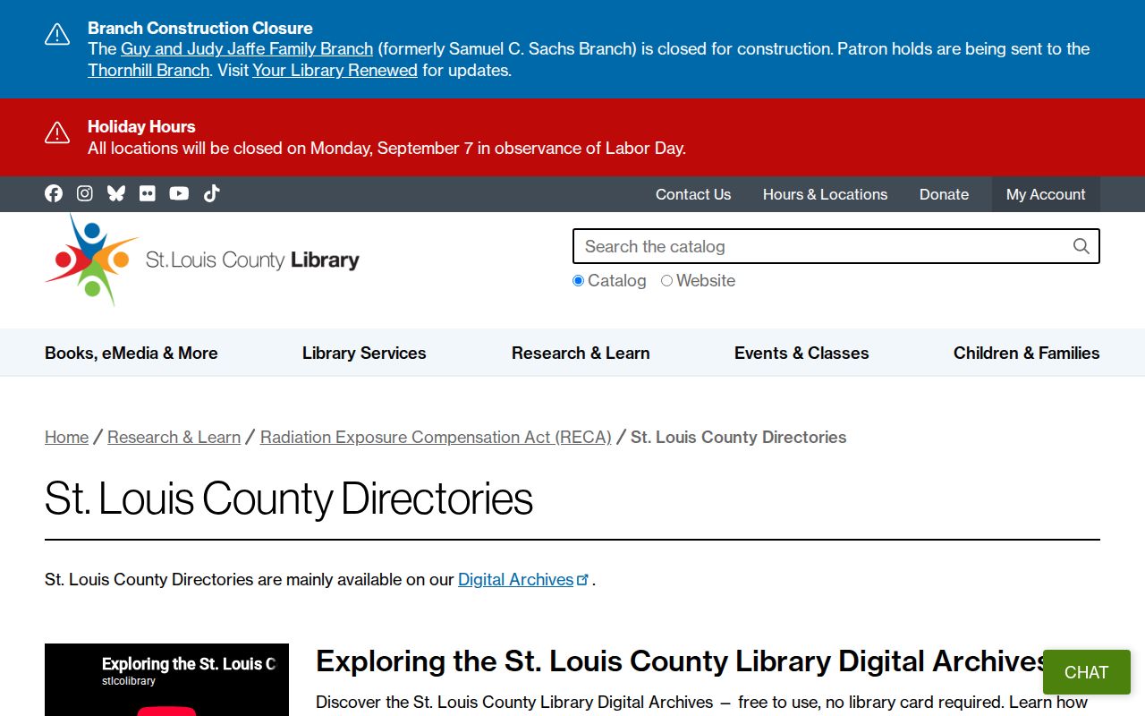
Browse after searching. The library notes that pages are alphabetical by surname letter and that OCR can miss a name, punctuation, or street abbreviation. Record the year, volume title, page or scan link, and access date before treating a listing as a historical household clue.
Household pairing flow: dated street address → reverse or alphabetical directory entry → a public federal census schedule when the 72-year rule permits access → obituary, burial, court, or deed evidence with its own date. No single St. Louis County census index was identified in the research, so retain the directory citation instead of replacing it with an unverified census match.
Pair St. Louis Previous Residents with Maps
Addresses move across time even when the parcel is the same. Pitzman’s Atlas from 1878, the St. Louis County Plat Book from 1909, and current GIS records can test whether an old street name, lot, or municipal label matches the present location. Compare the original source date and place label first. The library’s local sources guide also identifies court, birth, death, burial, newspaper, and land-claim research routes that can anchor an address clue to an event.
SLCL’s online guide to St. Louis sources gathers several of those historical paths.
Use the map sequence to explain a changed street number or jurisdiction before changing the spelling of a person’s name. A plat or atlas establishes place context. The recorded instrument supplies the legal conveyance, and the dated directory supplies a listing at the address.
St. Louis Records Before the 1876 Split
St. Louis County was organized in 1812, but St. Louis City separated from the county in 1876. The library says combined-area records were kept by the City before that split; county records later moved to Clayton, which became the county seat in 1877. A family’s later county address does not settle who held a much earlier record. Treat “St. Louis” as a historical jurisdiction field and search the date and custodian together.
State Archives inventories show separate county record groups, including court books and minutes from 1804–1950, naturalizations from 1816–1906, estates from 1804–1891, and land surveys from 1806–1851. These are archival holdings, not declarations of online availability. They can help choose a precise record group when an estate transfer, early lot, or court event interrupts an address trail.
Older paper trails also require a physical-access plan. A useful result may be a microfilm reel, bound register, fragile directory, courthouse terminal entry, or an Archives image instead of a searchable web row. Record the repository, reel or volume, page, and copy method with the address trail. That citation is what allows a later researcher to distinguish a missing index result from a record that was never checked in the right place.
Use St. Louis Previous Residents Records Lawfully
House history, family history, estate research, and personal curiosity are appropriate reasons to organize a dated address trail. Keep the result tied to the source that supports it, preserve custodial limits, and avoid publishing or using information in a way that targets a living person. Missouri’s Safe at Home program also means some address information may be substituted or protected.
Personal-use note. A historical address trail is not permission to track, harass, or harm anyone. When a record is protected, incomplete, or ambiguous, leave the gap in place and consult the responsible custodian.
For a current address workflow that starts with the parcel and moves through the local records layers, use the St. Louis street directory lookup. Keep the source date, record role, and original address wording with every backward step.