
St. Louis Neighbors by Parcel
The public layer around one St. Louis County address is chiefly about parcels and geography. It can identify a mapped lot, its property address, a tax-owner field, a legal description, and public district attributes. Those facts are useful for a block question, but they do not establish who is inside a household today. Read a result as the record describes it, then preserve its locator and access date for any later check with the appropriate custodian.
| Source | What It Shows About a Block | Access |
|---|---|---|
| St. Louis County GIS Property Lookup | Parcel geometry, property address, owner mailing fields, deed handoff, municipality, and district context | Public web map |
| County Real Estate Search | Current tax/parcel record, locator, assessment, property information, and owner field | Public county search |
| County Recorder route | Recorded instrument trail when a parcel’s deed book/page supplies a handoff key | Search, copy, terminal, or request route varies |
| Voter request route | Specified district or precinct data under the county form’s limits | Paid, purpose-limited request |
| Community and library resources | Historical community names and public organization routing | Public finding aid or organization resource |
For immediate neighbors, prioritize the subject lot, touching lots, and their municipality or district fields. A property owner may receive mail somewhere else, and a recorded owner may not occupy the parcel. That distinction is central to a careful neighbor lookup.
Note: A parcel result is a dated tax and map record, not a current roster of every household member.
Map St. Louis Neighbors
County GIS supplies the clearest adjacent-parcel method. Search the subject address, open the result from the Results tab, and zoom in until individual parcels are clear. Select the subject feature first. Shift-select can add nearby parcels, and the expanded attribute table can be filtered by map extent or an expression. The map also offers zoom-to-selected, measurement, printing, and export tools. The research did not identify a documented one-click neighborhood-radius result, so use parcel geometry rather than claiming that a radius output proves who is nearby.
- Search the subject property by address, locator, or name where the GIS instructions support that route. Preserve the exact locator and property address.
- Open the parcel result, zoom to the block, and select adjoining parcels by their visible geometry. Use Shift-selection only after the subject lot is clear.
- Read each selected parcel’s situs, owner-mailing, legal-description, deed, municipality, ward, and district fields as separate categories.
- Use the locator or deed book/page to check a recorded instrument through the Recorder route when title context is necessary.
- For a full named-street chain rather than the immediate block, use the St. Louis street directory workflow.
The useful flow is address → subject parcel → adjacent geometry → parcel attributes → Recorder handoff. It stays focused on the block and makes clear where a map stops and a custodian record begins.
St. Louis Neighbor Parcel Fields
The GIS parcel layer separates several kinds of information. A parcel’s `PROP_ADD` and `PROP_ZIP` describe the property location. `OWNER_NAME` and the `OWN_` field family describe the owner mailing context. The legal and deed fields route a researcher to the parcel’s record trail. Jurisdiction fields explain why two nearby lots can have different municipal clerks, wards, or service districts. Recording these distinct fields makes it much less likely that a neighbor search will overstate what a result proves.
| Field group | What to preserve |
|---|---|
| Locator and object ID | `LOCATOR`, `PARENT_LOC`, and `OBJECTID` provide stable GIS and Revenue handoff keys. |
| Situs | `PROP_ADRNUM`, `PROP_ADD`, and `PROP_ZIP` identify the mapped property address. |
| Owner mailing | `OWNER_NAME`, `OWN_ADD`, city, state, ZIP, and care-of fields describe a parcel record, not presence. |
| Legal geometry | Subdivision, block, lot, legal text, acreage, and shape help confirm which lots are adjacent. |
| Jurisdiction and deed | Municipality, ward, council, school, fire, library, `DEEDBKPG`, deed type, and record date guide the next official check. |
The GIS Service Center warns that parcel data can be inaccurate and should be validated with the appropriate agency. Keep a map export or screenshot only with its layer and access date, then verify a disputed lot or field with the responsible office.
For a block comparison, keep one worksheet row for the subject parcel and one for each adjoining lot. Include the locator, property address exactly as displayed, municipality, owner string, owner mailing city and ZIP, deed book/page, legal description, source URL, map date, and a verification note. Do not substitute the assessor book/page for the Recorder book/page. The first is an assessment reference; the second is the recorded-deed handoff when the field is present. That small distinction keeps a neighbor record tied to the correct county system.
Community Links for St. Louis Neighbors
A block has more context than its parcel lines. The St. Louis County Library’s Neighborhoods and Communities index routes researchers to local-history material for places such as Ballwin, Clayton, Ferguson, Florissant, Kirkwood, Normandy, University City, and Webster Groves. It is a finding aid, not a current membership file. First identify the municipality from GIS, then search the library’s community term rather than treating the county as one uniform neighborhood system.
The Saint Louis Association of Community Organizations supports neighborhood organizations and community leaders across the region.
SLACO offers public mission and contact information, but the inspected resource does not present a complete county resident or member roster.
| Community resource | Best use | Limit |
|---|---|---|
| SLCL Neighborhoods and Communities | Locate a county community in historical and local-source material. | Not a current household directory. |
| SLACO | Route a public community or neighborhood-organization question. | Not a complete member list. |
| Municipality clerk or community page | Check public notices or organization information for the municipality identified by GIS. | No single countywide association registry was located. |
St. Louis Neighbor Voter Geography
Voter information is a separate layer, not an automatic overlay on a parcel map. Missouri’s statewide lookup requires an exact registered first name, last name, date of birth, last four digits of the Social Security number, and county. It does not offer a public map of every voter near an address. The county’s EIS request form can specify district, municipality, precinct, split, address, ZIP, registration, and election-history fields, but it is a paid request subject to RSMo §115.158.6.
Parcel and district geometry should come first for a block question. If a permitted civic or historical purpose calls for a voter-list request, use the Board of Elections EIS form, follow its current payment and delivery instructions, and keep the permitted use distinct from a neighbor claim.
Note: Registration information can be protected, may change, and does not establish that a voter currently occupies the mapped parcel.
Official St. Louis Neighbor Tools
Official records and commercial neighbor-lookup services operate on different assumptions. The county and state tools identify their custodian, field type, and update limitations. A commercial category may combine parcel data, old addresses, marketing data, and inferred relationships, then place results behind a paywall or leave the source path unclear. Neither type creates a complete list of people on a block, but the official route gives a reader a clearer way to verify the underlying record.
| Official parcel and community records | Commercial neighbor-lookup category |
|---|---|
| Shows recorded or mapped fields with a named county, state, library, or organization source. | May combine data from varied and sometimes unclear sources. |
| Separates property situs, owner mailing, districts, and dated historical material. | Can blur old addresses, property fields, and inferred connections. |
| Supports a custodian correction or verification request. | May have stale entries, name collisions, removal limits, or paywalls. |
For a neighbor question, rely on the source that owns the field. Keep the locator, record date, and the meaning of the field with any notes. Do not convert a commercial listing or an owner name into a present-household assertion.
St. Louis Neighbor Boundaries
County parcel attributes can show municipality, ward, council, school, fire, library, and legislative districts alongside a lot. Those fields explain why the block may cross local service or civic lines. ZIP labels add another layer of ambiguity because they are mailing geography, not municipal boundaries. Record the parcel municipality separately from the ZIP and owner mailing city. A public community resource should be matched to the mapped municipality, not assumed from a St. Louis mailing label.
The official Missouri county and city ZIP dataset illustrates the problem. ZIP 63121 carries several county municipality and place labels, while 63122 also spans several labels. Neither label identifies every parcel’s jurisdiction. Use the GIS municipality field and the individual address instead of treating a ZIP or a city-name label as a block boundary.
Explore the Invest STL regional neighborhood map for association, community-development, and community-building organization context across the region.
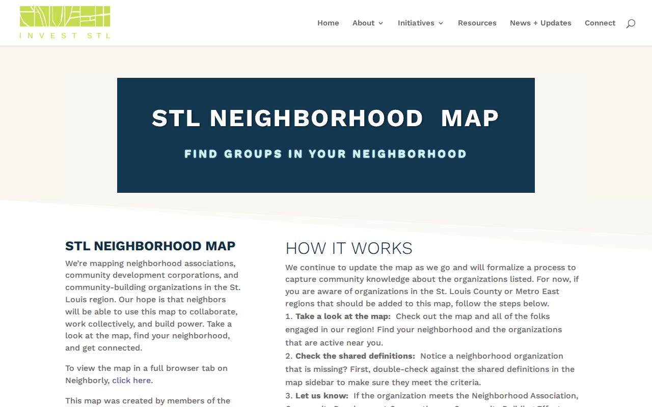
The map is collaboratively maintained and is not an official county boundary layer, so compare it with the parcel’s municipality and district fields.
St. Louis Neighbors Privacy Limits
A neighbor lookup should stop at the public record’s boundary. Parcel results do not list every person connected to a household. Delivery, utility, and other private household records are not part of the county parcel workflow. Missouri Safe at Home participants may use a substitute address for government and court records, and a protected voter or sealed court party may not appear as an ordinary searchable result. Never attempt to reverse a substitute address or work around a redaction.
The Missouri Safe at Home program offers qualifying participants a substitute address and mail forwarding. For a disputed ordinary public field, contact the agency that owns it, such as Assessor/GIS, Elections, a municipal clerk, or the Circuit Clerk. There is no single countywide process to remove every historical reference from every record.
Lawful use. Use records about St. Louis neighbors for personal, lawful community research. Never use parcel, district, or community information to stalk, harass, intimidate, or harm another person.